
By the numbersLake levels · Florida
+2.1 ft in 30 days: Lake Okeechobee in 6 numbers
The level, the trend and what they mean on the water: Lake Okeechobee in 6 numbers.
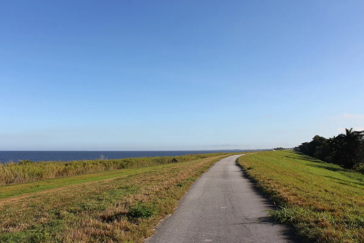
A quick read of the water, by the numbers. Lake Okeechobee reads 14.5 ft on the gauge. That is 2.1 ft higher than 30 days ago, with 0.5 ft of that in the past week.
The gauge on Lake Okeechobee reads 14.5 ft. On its own that is just a height; the next numbers say whether it is a problem.
Over a month a rise this size floods brush and grass along the banks: new cover that fish move into within days.
The pace has not let up this week.
Compared with the usual level for November, Lake Okeechobee is low. A low lake fishes smaller: fish crowd onto fewer points and channel edges.
Largemouth bass, bluegill and sunfish and catfish are in a good temperature range; the rest will take more patience.
Of the next 7 days, Friday rates best for the bite on sun, moon and wind.
The chart
Each point on the chart is one day's reading. The dashed line is the usual level for the season.
Where the numbers point
Named launch sites on Lake Okeechobee include Henry Creek.
There are 10 mapped ramps on Lake Okeechobee, shown on the map. Each one ends at a different height, and we have not matched them to today's level: check before you launch.
High water brings debris down the creeks. Go slow near the ramps and in the upper arms, and watch for docks that are partly underwater.
- Boat ramp 1
- Boat ramp 2
- Boat ramp 3
- Boat ramp 4
- Boat ramp 5
- Chancy Bay Creek boat launch
- Boat ramp 6
- Boat ramp 7
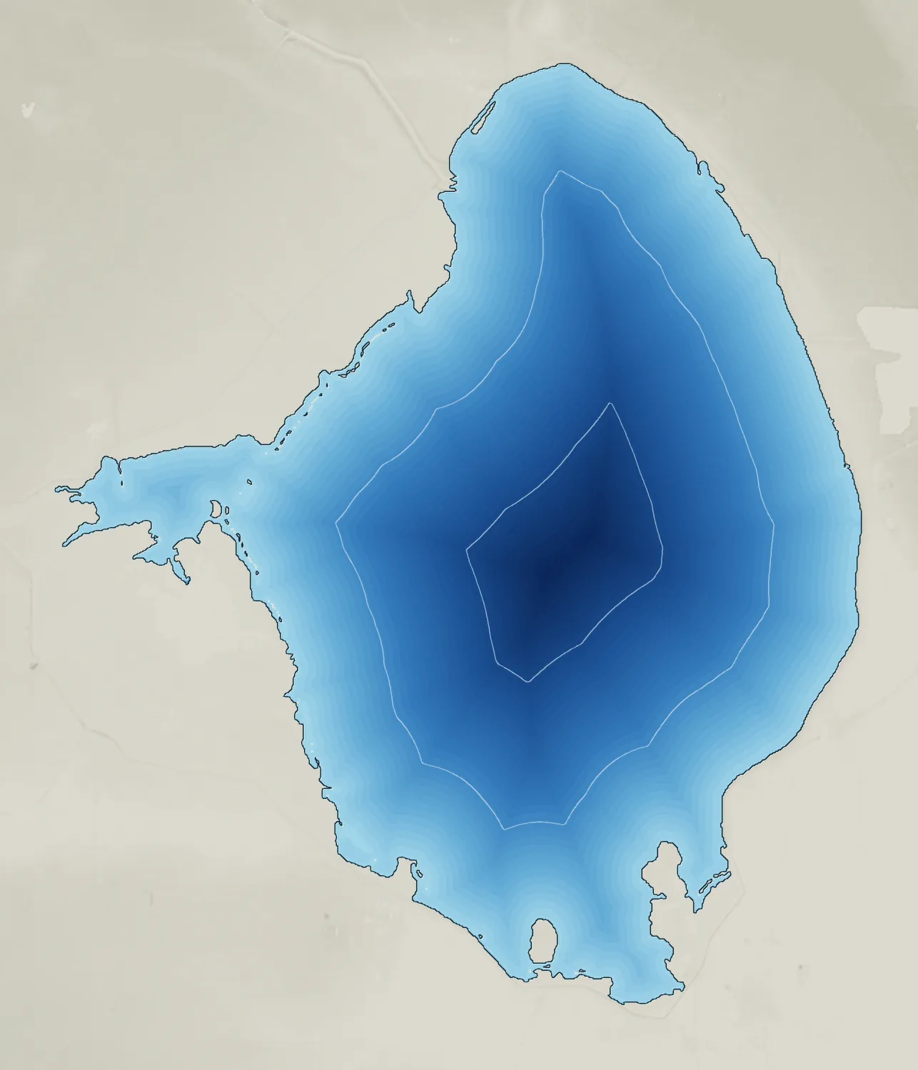
Weather and bite outlook
For the calmest weather, Friday is the pick of the next few days: mostly sunny, wind around 10 mph and a high near 74°F.
Circle Friday, Saturday and Monday on the calendar: 3 of the next 7 days rate good or better. On Friday the strongest window runs 4:00 pm to 5:00 pm, and on Saturday 4:00 pm to 5:45 pm.
Questions
Where can I launch a boat on Lake Okeechobee?
Named launch sites include Chancy Bay Creek boat launch, Henry Creek. Check that your ramp is open and reaches the water at today's level before you tow.
How deep is Lake Okeechobee?
Around 10 ft at its deepest. It covers about 467,000 acres with roughly 135 miles of shoreline at full pool.
Lake Okeechobee every morning
Water temperature, level, wind and bite times on your phone.

Read the guide
- How to read a lake depth map: points, humps and channelsA plain guide to reading a lake depth map: contour spacing, points and drop-offs, humps, old river channels, and LakeScope's 3-D lake bed to find them fast.
- Lake Okeechobee fishing guide: bass in a shallow grass lakeHow to fish Lake Okeechobee, Florida's huge shallow bass lake: grass-edge tactics, season patterns, launch points and safety basics for an open, windy lake.
Related reports
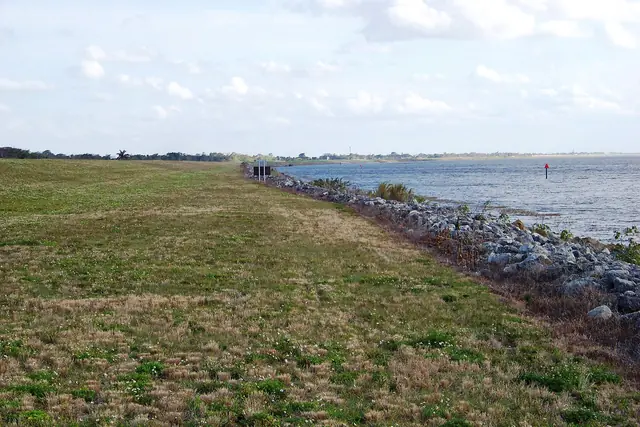 Photo story Water temperature · Florida
Postcard from Lake Okeechobee: 74°F water and a quiet November
What Lake Okeechobee looks and fishes like on November 10, with the water at 74°F.
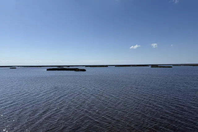 Photo story Fishing · Florida
Late-season largemouth bass on Lake Okeechobee: a picture of the week
A short field guide to Lake Okeechobee that week.
 Photo story Water temperature · Florida
Lake Tohopekaliga this fall: the water, the fish, the plan
A short field guide to Lake Tohopekaliga this week.
 News brief Lake levels · Pennsylvania
Raystown Lake down 7 ft in 29 days
Lower water on Raystown Lake changes the launch, the spots and the hazards.